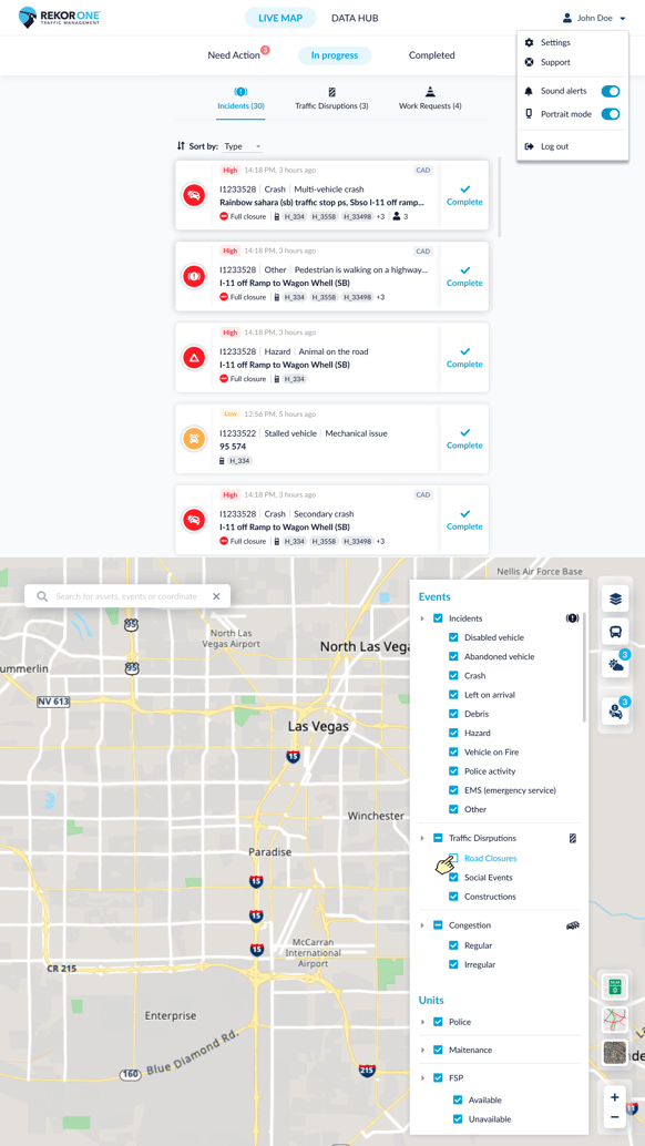
Introducing Mile Markers Layers for Live Map, Bug Fixes, and More.
Bugs Fixed:
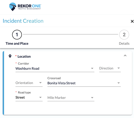
- Incident Creation: The Corridor and Crossroad fields will no longer show the same road name when creating a new incident.
New Feature Additions and Changes:
- Desktop & Tablet:
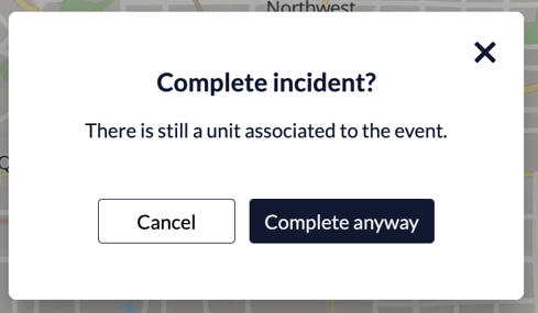
- Completing an Incident with a Unit Associated to It: When a user attempts to complete an incident in which an associated unit is on scene, en route, or has an unknown status, a pop-up box will appear to notify the user.
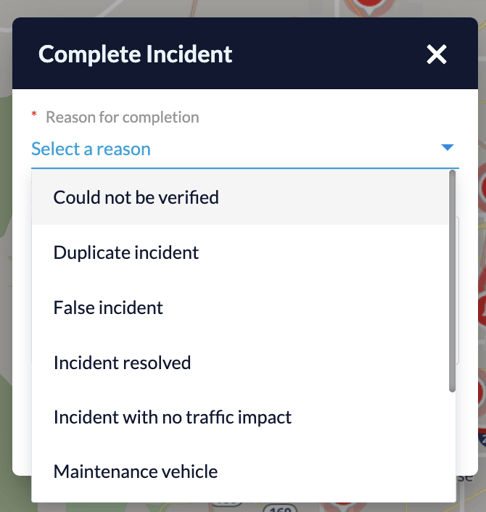
- Incident Completion: When a user completes an incident, the reasons listed in the drop-down menu will now be sorted alphabetically.
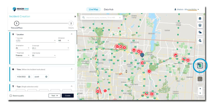
- Mile Markers Layer: We have introduced a new layer on the live map for mile markers; this is intended to help operators and field units better identify incident locations. This layer can be toggled on and off by clicking on the mile marker icon on the bottom right corner of the live map.
________________________________________________________________________________
Coming Soon
- Transit Module: Rekor has developed a new module for Transit Operations. If you are interested in learning more, please get in contact. This module will include:
- A real-time display of bus routes and their status (early, on time, late)
- The ability to view incidents, weather events, and traffic disruptions that may affect a bus route
- Analytics reporting tools for on demand/demand response bus trips, trips that cross county lines, and more
- Portrait Mode for Desktop: Desktop users will soon be able to switch portrait mode on/off for better display on the live map. A new toggle will appear on the menu allowing users to update these settings which will be saved for the next log in. This option will be available in all resolutions and is intended to support users who prefer a vertical screen layout.
