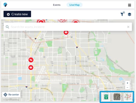
On the lower-right-hand corner of the screen are three map tools. Each one turns on a layer.
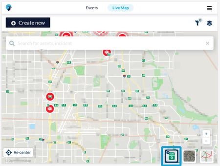
- To turn on the mile marker layer, touch the green mile marker icon. A blue check mark appears on the icon indicating that this later is active. To turn off this layer, touch the mile marker layer icon again.
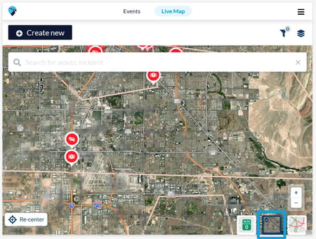
- To view the map with satellite imagery, click the satellite icon. The map changes immediately. A blue check mark indicates that this tool is active. To return to the default view setting, click the satellite icon again. The map changes back to its default setting.
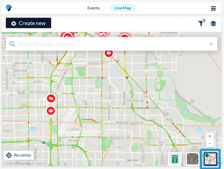
- To turn on the traffic layer, click the traffic icon. A blue check mark indicates that the tool is active. To turn off this layer, click the traffic layer icon again.
You can configure the map style at your discretion. The tools can be used together, separately, or not at all depending on the needs of your current tasks.