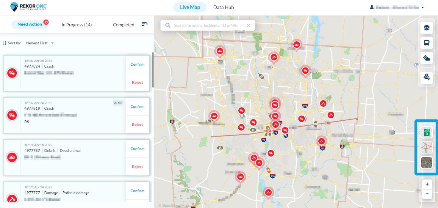
On the right-hand side of the screen are three map tools. Each one turns on a layer.
-
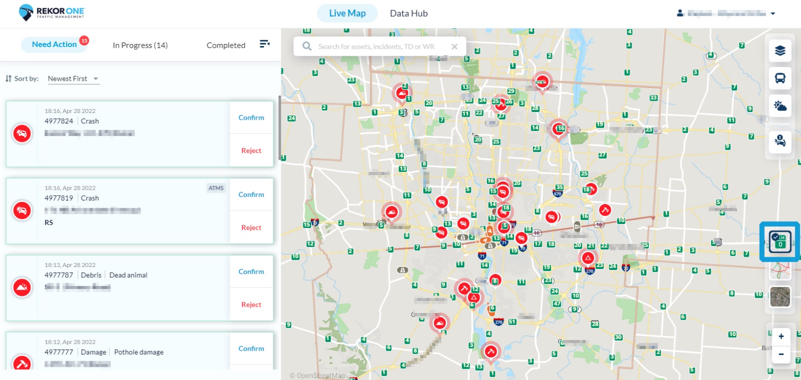
To turn on the mile marker layer, click the green mile marker icon. A blue checkmark appears on the icon indicating that this later is active. To turn off this layer, click the mile marker layer icon again.
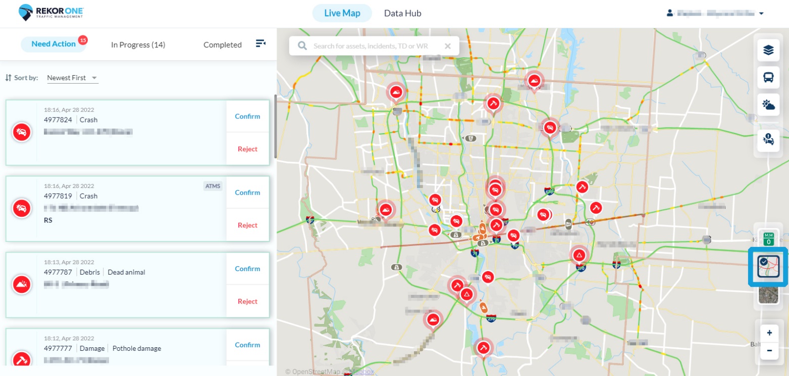
- To turn on the traffic layer, click the traffic icon. A blue check mark indicates that the tool is active. To turn off this layer, click the traffic layer icon again.
-
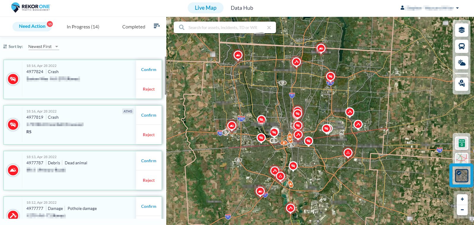
If you would like to view the map with satellite imagery, click the satellite icon. The map changes immediately. A blue check mark indicates that this tool is active. To return to the default view setting, click the satellite icon again. The map changes back to its default setting.